Item 02 · Streets & public works · Legal
Town Clerk's Certification of Main Street as a Public Street for Highway N.R.M. No. 167
January 10, 1934 · 1 page
Synopsis
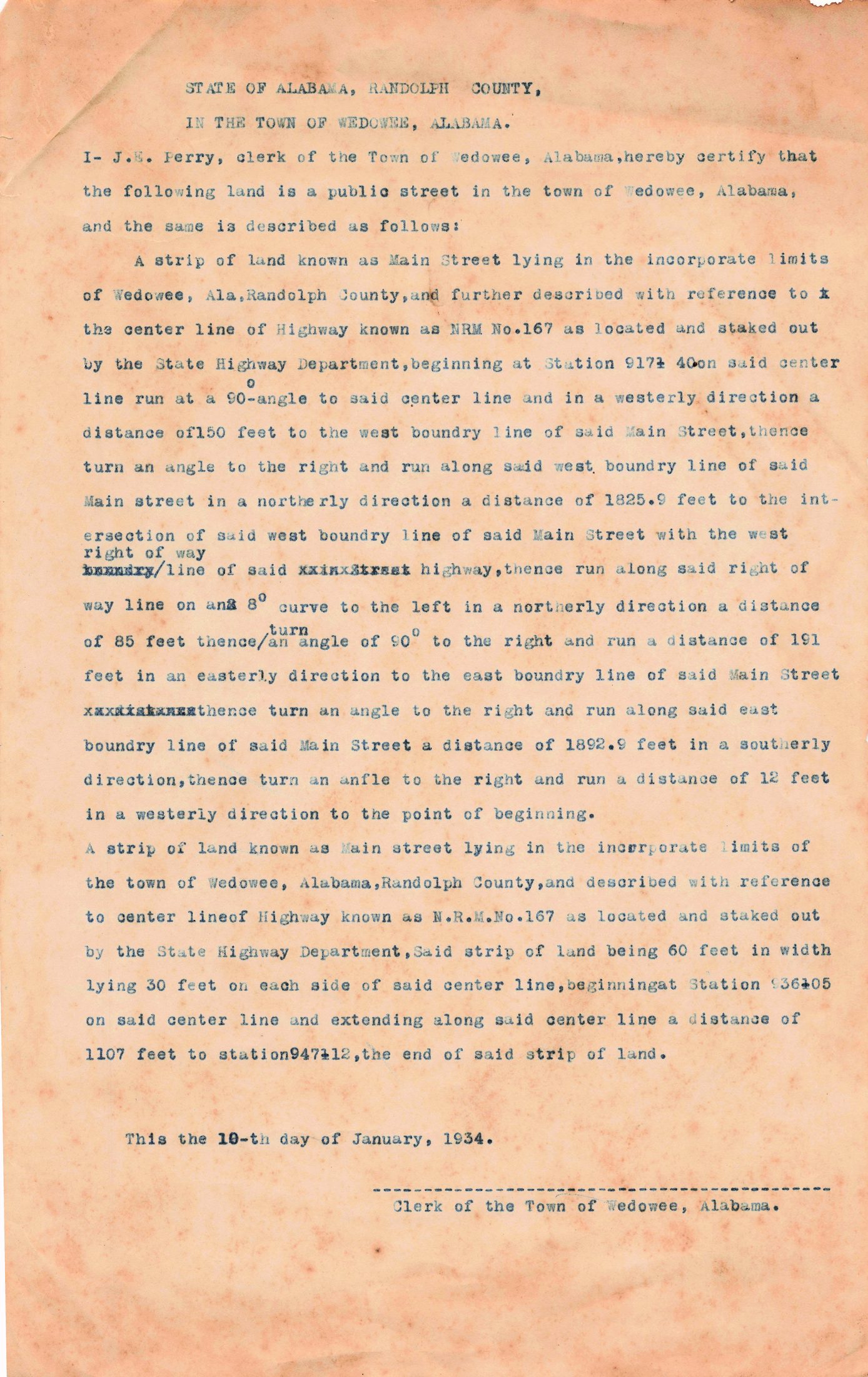
A typed certificate from J. E. Perry, Clerk of the Town of Wedowee, stating that Main Street is a public street of the town and describing it by survey. The description follows the center line of the highway known as N.R.M. No. 167 as staked out by the State Highway Department. It gives bearings and distances from highway survey stations: one strip runs from Station 917+40 with boundary lines of about 1,825.9 and 1,892.9 feet, and a second strip 60 feet wide (30 feet on each side of the center line) runs 1,107 feet from Station 936+05 to Station 947+12. The certificate was apparently prepared so the state could build the highway through town on public right-of-way, and it goes with the C.W.A. and highway records of the same period. The clerk's signature line is blank on this copy.
Key facts
- Certified by J. E. Perry, Town Clerk, January 10, 1934
- Describes Main Street with reference to Highway N.R.M. No. 167
- Second strip is 60 feet wide, 30 feet each side of the center line
- Runs 1,107 feet from Station 936+05 to Station 947+12
- Survey staked out by the State Highway Department
Transcription
STATE OF ALABAMA, RANDOLPH COUNTY,
IN THE TOWN OF WEDOWEE, ALABAMA.
I- J.E. Perry, clerk of the Town of Wedowee, Alabama, hereby certify that the following land is a public street in the town of Wedowee, Alabama, and the same is described as follows:
A strip of land known as Main Street lying in the incorporate limits of Wedowee, Ala, Randolph County, and further described with reference to the center line of Highway known as NRM No.167 as located and staked out by the State Highway Department, beginning at Station 917+40 on said center line run at a 90° angle to said center line and in a westerly direction a distance of 150 feet to the west boundry line of said Main Street, thence turn an angle to the right and run along said west boundry line of said Main street in a northerly direction a distance of 1825.9 feet to the intersection of said west boundry line of said Main Street with the west right of way line of said highway, thence run along said right of way line on an 8° curve to the left in a northerly direction a distance of 85 feet thence turn an angle of 90° to the right and run a distance of 191 feet in an easterly direction to the east boundry line of said Main Street thence turn an angle to the right and run along said east boundry line of said Main Street a distance of 1892.9 feet in a southerly direction, thence turn an anfle to the right and run a distance of 12 feet in a westerly direction to the point of beginning.
A strip of land known as Main street lying in the incorporate limits of the town of Wedowee, Alabama, Randolph County, and described with reference to center line of Highway known as N.R.M.No.167 as located and staked out by the State Highway Department, Said strip of land being 60 feet in width lying 30 feet on each side of said center line, beginning at Station 936+05 on said center line and extending along said center line a distance of 1107 feet to station 947+12, the end of said strip of land.
This the 10-th day of January, 1934.
________________ Clerk of the Town of Wedowee, Alabama.
Physical description
Toned paper with faint typing; typed strikeovers and interlinear corrections; clerk's signature line blank.
Reading notes
Station numbers are typed with a '±' style character, read here as '+' (e.g. 917+40, 936+05, 947+12); the first distance may read 150 feet.